

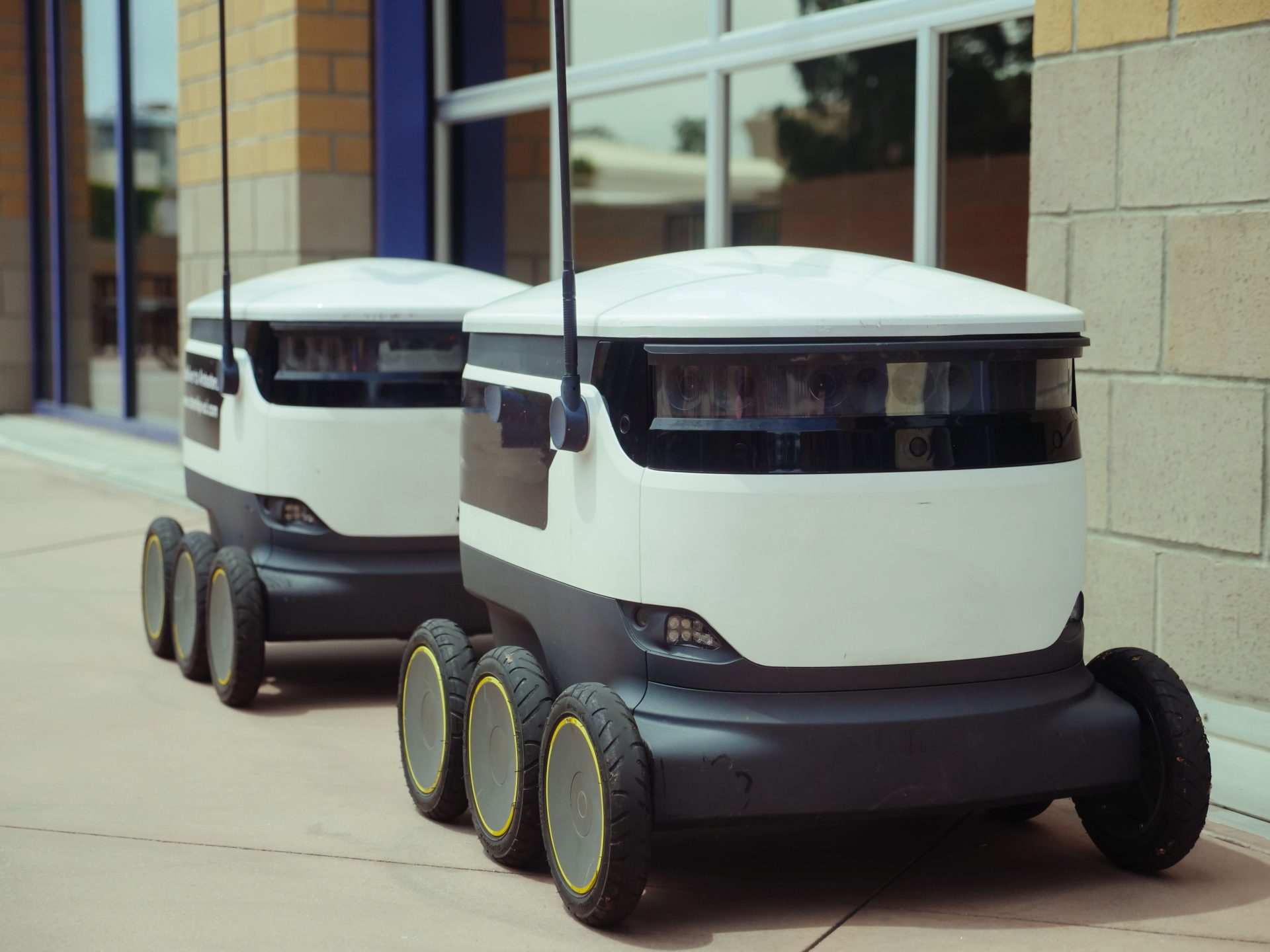
A cleaning robot enters a building lobby before the morning rush. Its usual route is still there, but the space no longer looks the same. A chair has been moved beside the reception desk, a delivery cart blocks part of the corridor, and people are beginning to pass through the entrance. None of these changes is unusual for the people who use the building. For the robot, however, each one affects how it should move. It must determine where the open space is, whether it’s wide enough, and whether someone walking nearby is likely to enter its path.
This is one of the central challenges of service robotics. A robot may have a map and a planned route, but it still needs current information about the environment because real spaces rarely remain exactly as they were mapped. LiDAR can help provide that information. Short for Light Detection and Ranging, LiDAR uses laser light to measure the distance to surrounding surfaces. Those measurements give the robot’s software precise three-dimensional (3D) information about objects, structures, and open space.
This is where Seyond fits into the robotics ecosystem. Headquartered in Silicon Valley, Seyond designs and manufactures high-resolution LiDAR systems for automotive, transportation, robotics, and industrial applications. The company’s high-resolution LiDAR portfolio supports a wide range of robotic applications, from warehouse automation and autonomous forklifts to delivery and service robots operating in shared spaces. With compact form factors, detailed 3D perception, and integration options for different robotic platforms, Seyond helps developers build reliable spatial awareness into robots designed for real-world deployment.
Understanding Changes and Finding a Safe Path
A stored map can tell the cleaning robot where the lobby walls, entrances, and corridors are expected to be. However, it cannot tell the robot that a cart was left near reception ten minutes ago or that several visitors are now approaching the doorway. To operate in the lobby as it exists now and not simply as it was mapped, the robot needs current information about its surroundings.
As the robot moves, LiDAR can measure the cart’s position, the nearby wall, and the floor around it. Perception software uses those measurements to identify the cart as an occupied area and estimate the open space around it.
That distinction appears in many service settings. A commercial cleaning robot may encounter temporary signs, luggage, or furniture that did not appear on its original map. A hospital service robot may find a trolley near an elevator. An autonomous mobile robot in a warehouse may meet another machine at the end of an aisle. In each case, detecting an object is important, but understanding the usable space around it makes that detection more useful.
However, when the cleaning robot detects the cart, it has answered only the first question: something is in the way. It still needs to determine whether it can continue or what another safe path is available.
In this case, the robot’s navigation system can use the 3D measurements supplied by LiDAR to identify possible ways around the cart and calculate the clearance along each route. It can compare available space with the robot’s width, turning ability, required safety margin, and stopping needs. The system may also combine LiDAR data with information from cameras, wheel encoders, or other sensors to account for the robot’s movement and approaching people.
Using this combined information, the planner evaluates the available options. If LiDAR measurements show that one route provides sufficient clearance and the route meets the robot’s operating rules, the system may direct the robot around the cart. If every alternative appears too narrow, blocked, or uncertain, the appropriate response may be to stop and wait.
The benefit, then, is not that a LiDAR-equipped robot will always keep moving. Seyond does not determine every action a robot takes. It uses high-resolution 3D perception technology to precisely detect and track nearby objects, including people and other robots.
A robot that never stops isn’t necessarily safe or useful. The advantage is that the system has more information for distinguishing between a manageable obstruction and a situation that genuinely requires it to wait.
Sharing Space With People
Furniture generally stays where it is placed. People do not. Someone may slow down, turn, stop at a doorway, or step into a robot’s route with little warning.
In a simpler configuration, however, the response may be largely reactive: the robot detects a nearby presence, stops, and resumes when the area appears clear. If its sensing provides limited information about position and motion, it may stop earlier, wait longer, or rely more heavily on conservative rules.
For that reason, a service robot cannot treat a person as simply another fixed mark on a map. It needs an updated view of where nearby people are and how the scene is changing.
A 3D LiDAR-equipped system can repeatedly measure the person’s position relative to the robot and surrounding structures. Perception software can use those updates to track movement, while the planner decides whether to slow down, yield, stop, or choose another route.
Seyond identifies close-proximity detection and tracking around workers and other robots as an important use of its high-resolution 3D perception technology.
Other sensors remain valuable here. A camera may add visual information that helps software classify what it sees, while LiDAR on robots contributes direct geometric measurements of distance and position. An inertial measurement unit can help estimate how the robot itself is moving. Combining these inputs gives the software a more complete basis for responding than any single measurement source can.
“The goal isn’t to make robots dependent on one sensing technology. It’s to give them the right information to operate reliably in environments that are constantly changing,” says Billy Evers, VP of Sales and Marketing at Seyond. “When robots can better understand the space around them, they can spend less time waiting for assistance and more time completing the work they were designed to do.”
For the people sharing the building, the desired result is simple: predictable behavior. A visitor should not have to understand the robot’s route to walk through a lobby. Hospital staff should not have to move a delivery robot every time a corridor gets busy. The more accurately the robot understands its surroundings and movement, the more naturally it can fit into a space designed primarily for people.
Continuing After a Detour
Avoiding a cart is useful, but it is not the robot’s actual assignment. The cleaning robot still needs to finish the lobby. A hospital robot still needs to reach the correct department. A delivery robot still needs to complete its route.
This is where perception connects to mapping and localization. Mapping creates a representation of the environment, while localization estimates the robot’s position within it. LiDAR measurements can help software match walls, corners, and other physical features with a map. Wheel encoders and inertial sensors can contribute additional information about distance traveled and changes in motion.
Together, these inputs can help the robot relate a short detour to the larger task. After passing around the cart, it can estimate its location, rejoin an appropriate route, and keep working rather than treating the interruption as the end of the assignment.
For robotics operators, better perception offers value beyond obstacle avoidance. In other words, better perception shows up in completed work, avoided human intervention, and more consistent performance across changing environments.
Measuring What Matters
Robots are moving into more everyday environments, and reliable perception is essential to making those deployments practical and scalable.
For a business, the practical value of perception does not appear in a point-cloud image or a list of sensor specifications. It appears in whether the robot completes its work in its assigned area even when furniture moves or foot traffic increases.
Seyond frames reliable 3D perception as a way to support safe navigation while reducing inefficient stop-and-go operation in demanding robotics environments. Other useful measures include task-completion rate, unnecessary stops, recovery from detours, intervention frequency, and performance under realistic operating conditions.
Back in the lobby, successful automation may look uneventful. The robot slows as visitors cross the entrance, moves around the cart when there’s enough space, and returns to the part of the floor it still needs to clean.
That ordinary result is the point. LiDAR doesn’t make the robot the center of attention; it gives its software precise, up-to-date spatial information that supports useful decisions. For businesses, that can mean more dependable task completion and fewer routine interventions. For people, it can mean service robots that do their jobs without making shared spaces harder to use.
Photo by Kindel Media: Pexels

A seasoned technology executive with a proven record of developing and executing innovative strategies to scale high-growth SaaS platforms and enterprise solutions. As a hands-on CTO and systems architect, he combines technical excellence with visionary leadership to drive organizational success.