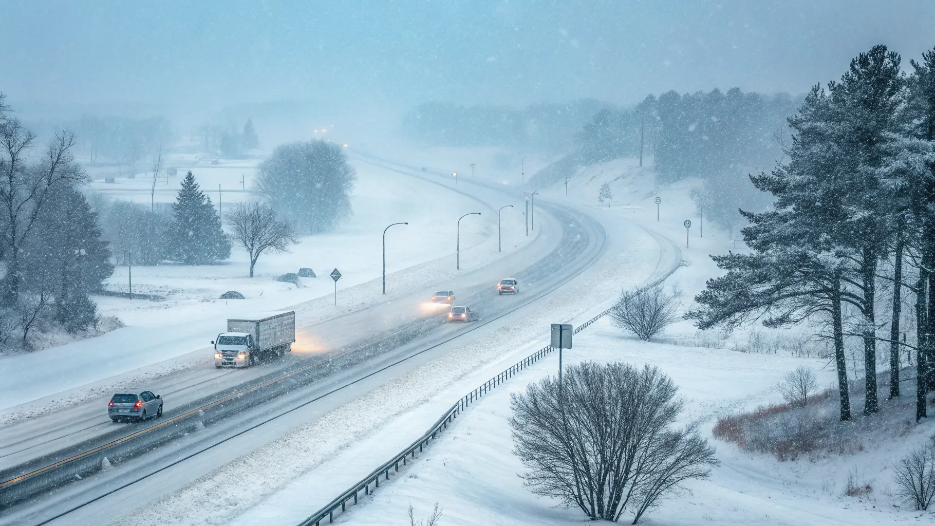
A fast-moving winter storm is forecast to drop heavy snow across parts of the Midwest this weekend, with totals that could reach up to a foot in some areas as the system pushes east. The timing raises concern for drivers and flyers heading home after Thanksgiving, with forecasters warning of slick roads, reduced visibility, and flight delays.
Meteorologist Angie Lassman highlighted the path and intensity of the system, while correspondent Valerie Castro reported on travel impacts and preparations under way in affected states. The snow is expected to start in the Upper Midwest before spreading into the Great Lakes and interior Northeast.
Forecast At A Glance
“A major winter storm is set to pummel parts of the Midwest with up to a foot of snow as it moves East over the weekend. It could make travel dangerous for those heading home after Thanksgiving,” said Saturday TODAY’s Angie Lassman and NBC’s Valerie Castro.
Forecasters expect the heaviest snow bands to set up from the Dakotas and Minnesota through Wisconsin and into Michigan, with the system then feeding colder air and moisture into parts of Pennsylvania and upstate New York. Strong gusts are likely along the frontal boundary, which could create blowing snow and occasional whiteouts on open stretches of highway.
Cold air will trail the storm, keeping road conditions icy overnight even after accumulations taper. Urban centers along the southern edge of the storm track may see a wintry mix, increasing the risk of black ice on untreated surfaces.
Why Timing Matters For Travelers
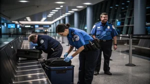
The Sunday after Thanksgiving is often one of the busiest travel days of the year. Transportation agencies prepare for congestion even in normal weather. A major snowfall on the same weekend can compound delays at airports and on interstates.
Airlines typically preemptively adjust schedules to reduce cascading cancellations. Crews prioritize de-icing windows and runway treatments, which can slow operations during peak periods. Drivers face their own hazards as snow and wind reduce visibility and lengthen stopping distances.
- Expect slower commutes and rolling delays on major corridors.
- Check airline apps for schedule changes and gate updates.
- Carry winter gear, food, and water when driving long distances.
Regional Preparations And Early Impacts
Public works departments across the Upper Midwest have staged plow fleets and salt supplies, focusing on bridges and overpasses that freeze first. State police are urging motorists to leave extra space, reduce speed, and avoid unnecessary travel during peak snowfall rates.
In lake-effect zones downstream of the Great Lakes, localized totals could rise quickly after the main storm passes. That pattern often creates sharp differences in snowfall over short distances, catching some drivers off guard when conditions change suddenly from wet pavement to packed snow.
What Past Storms Tell Us
Early-season storms frequently strain holiday travel because many drivers have not yet adjusted to winter conditions. Snowfall combined with strong winds increases crash risk, especially on rural highways and interstates with long, exposed segments.
Historically, airport delays climb when storms overlap with peak demand. De-icing queues can ripple through the day, even when runways remain open. Travelers who can shift their plans to off-peak hours or earlier departures often see fewer disruptions.
Safety And Planning Guidance
Weather agencies recommend keeping a full tank of gas, packing blankets and chargers, and informing others of travel routes. For flyers, checking in early, traveling with carry-on baggage if possible, and monitoring airline alerts can reduce stress if schedules change.
Officials add that staying put during the window of heaviest snow is the safest option. If travel is essential, they advise slowing down and turning on headlights at all times to improve visibility for other drivers.
What Comes Next
The storm’s eastward track will determine who sees the worst conditions. If the system dips south, more areas could shift from rain to wet snow. A more northerly path would concentrate higher totals near the Great Lakes and interior Northeast.
Forecasters will refine snowfall bands and timing as new model data arrives. Travelers should watch for updated advisories from local National Weather Service offices and transportation departments through the weekend.
The key takeaway: plan for delays, build extra time into trips, and stay flexible. With heavy snow and gusty winds in the forecast, careful planning could make the difference between a long wait and a safe arrival.
Rashan is a seasoned technology journalist and visionary leader serving as the Editor-in-Chief of DevX.com, a leading online publication focused on software development, programming languages, and emerging technologies. With his deep expertise in the tech industry and her passion for empowering developers, Rashan has transformed DevX.com into a vibrant hub of knowledge and innovation. Reach out to Rashan at [email protected]